
Priddis Greens topographic map
Click on the map to display elevation.
About this map
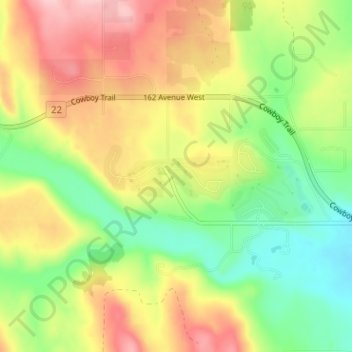
Name: Priddis Greens topographic map, elevation, terrain.
Location: Priddis Greens, Foothills County, Alberta, T0L 1W4, Canada (50.87759 -114.42407 50.91759 -114.38407)
Average elevation: 1,266 m
Minimum elevation: 1,187 m
Maximum elevation: 1,358 m
Foothills County trails, hiking, mountain biking, running and outdoor activities
Other topographic maps
Click on a map to view its topography, its elevation and its terrain.