Geolocate

Ollerton topographic map

Click on the map to display elevation.

About this map

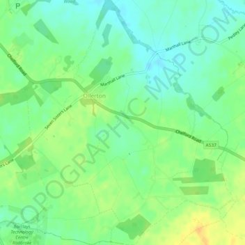
Name: Ollerton topographic map, elevation, terrain.

Location: Ollerton, Cheshire East, England, United Kingdom (53.27005 -2.34894 53.29778 -2.30870)

Average elevation: 66 m

Minimum elevation: 53 m

Maximum elevation: 84 m

Gear up for your next adventure:

🥾Trekking Poles - Adjustable trekking poles to reduce knee stress and improve stability
🥾Hiking Boots - Sturdy boots providing ankle support and traction on rugged trails
🧰Emergency Multi-Tool - Compact multi-tool for outdoor survival
🥾Lightweight Hiking Boots - Boots for comfort and mobility on long hikes
🧰Multitool Knife - Compact and versatile tool for outdoor use

As an Amazon Associate, this site earns from qualifying purchases at no extra cost to you.