Geolocate

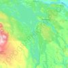
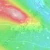
Duved topographic map

Click on the map to display elevation.

About this map
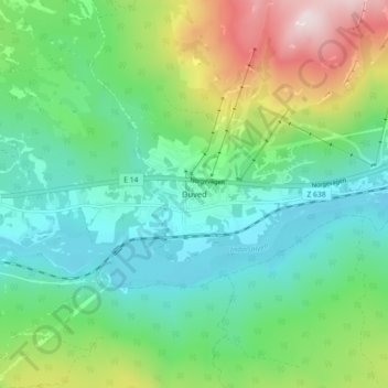
Name: Duved topographic map, elevation, terrain.

Location: Duved, Åre kommun, Jämtland County, Sweden (63.37418 12.89989 63.41418 12.93989)

Average elevation: 527 m

Minimum elevation: 370 m

Maximum elevation: 918 m

Other topographic maps

Click on a map to view its topography, its elevation and its terrain.
Bräcke kommun

Sweden > Jämtland County

Average elevation: 340 m

Storsjön

Sweden > Jämtland County

Average elevation: 404 m

Bergs kommun

Sweden > Jämtland County

Average elevation: 575 m

Strömsunds kommun

Sweden > Jämtland County

Average elevation: 475 m

Härjedalens kommun

Sweden > Jämtland County

Average elevation: 563 m

Östersunds kommun

Sweden > Jämtland County

Average elevation: 372 m

Bräcke kommun

Sweden > Jämtland County

Average elevation: 340 m

Rogen

Sweden > Jämtland County

Average elevation: 802 m

Storulvån

Sweden > Jämtland County

Average elevation: 928 m

Näkten

Sweden > Jämtland County

Average elevation: 374 m

Krokoms kommun

Sweden > Jämtland County

Average elevation: 501 m

Delsjön

Sweden > Jämtland County

Average elevation: 410 m

Edsåsen

Sweden > Jämtland County

Average elevation: 445 m

Krokoms kommun

Sweden > Jämtland County

Average elevation: 501 m

Sonfjället

Sweden > Jämtland County

Average elevation: 685 m

Ragunda kommun

Sweden > Jämtland County

Average elevation: 315 m

Bergs kommun

Sweden > Jämtland County

Average elevation: 575 m

Finnån

Sweden > Jämtland County

Average elevation: 596 m

Gear up for your next adventure:

🌬️Windproof Camp Stove - Efficient cooking even on exposed mountain peaks
🥾Trail Hiking Boots - Supportive boots for rough trails
🛰️Satellite Messenger - Emergency communication for areas with no cell service
🧢Outdoor Visor - Breathable visor for sunny hikes
🐕Hiking Dog Pack - Let your canine companion carry their own water and food

As an Amazon Associate, this site earns from qualifying purchases at no extra cost to you.