
Owens River Headwaters Wilderness topographic map
Interactive map
Click on the map to display elevation.
About this map
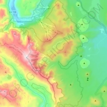
Name: Owens River Headwaters Wilderness topographic map, elevation, terrain.
Average elevation: 2,683 m
Minimum elevation: 2,200 m
Maximum elevation: 3,530 m
Other topographic maps
Click on a map to view its topography, its elevation and its terrain.
Mammoth Mountain
United States > California > Mono County > Mammoth Lakes
Mammoth Mountain, Mammoth Lakes, Mono County, California, United States
Average elevation: 3,011 m