Geolocate

Storyville topographic map

Click on the map to display elevation.

About this map
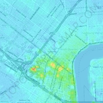
Name: Storyville topographic map, elevation, terrain.

Location: Storyville, New Orleans, Orleans Parish, Louisiana, 70112, United States (29.93849 -90.09295 29.97849 -90.05295)

Average elevation: 3 m

Minimum elevation: -6 m

Maximum elevation: 32 m

Other topographic maps

Click on a map to view its topography, its elevation and its terrain.

Gear up for your next adventure:

💧Collapsible Water Bottle - Space-saving water bottle for outdoor activities
🧢Beanie Hat - Keep your head warm in cold weather
🥘Camping Cookware Set - Compact nesting pots and pans for trail cooking
🔦LED Flashlight - Powerful and long-lasting flashlight for camping and emergencies
🥾Trail Hiking Socks - Comfortable socks to prevent blisters and fatigue

As an Amazon Associate, this site earns from qualifying purchases at no extra cost to you.