Geolocate

Kagel topographic map

Click on the map to display elevation.

About this map

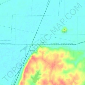
Name: Kagel topographic map, elevation, terrain.

Location: Kagel, Scott County, Missouri, 63240, United States (37.18588 -89.65342 37.22588 -89.61342)

Average elevation: 113 m

Minimum elevation: 96 m

Maximum elevation: 161 m

Other topographic maps

Click on a map to view its topography, its elevation and its terrain.

Sikeston

United States > Missouri > Scott County

Average elevation: 97 m

Commerce

United States > Missouri > Scott County

Average elevation: 109 m

Gear up for your next adventure:

Family Camping Tent - Spacious tent suitable for family camping trips
🥾Trail Running Shoes - Lightweight and durable shoes for trail running
🔪Outdoor Multitool - Versatile tool for repairs and food prep in the wild
🔦LED Headtorch - Bright and durable light for night activities
🎒Hiking Daypack - Lightweight and durable backpacks for day trips and excursions

As an Amazon Associate, this site earns from qualifying purchases at no extra cost to you.