Geolocate

Delmar topographic map

Click on the map to display elevation.

About this map

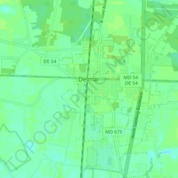
Name: Delmar topographic map, elevation, terrain.

Location: Delmar, Wicomico County, Maryland, United States (38.42792 -75.58770 38.47824 -75.53079)

Average elevation: 15 m

Minimum elevation: 10 m

Maximum elevation: 19 m

Other topographic maps

Click on a map to view its topography, its elevation and its terrain.

Parkview

United States > Maryland > Wicomico County > Willards

Average elevation: 12 m

White Plains

United States > Maryland > Wicomico County

Average elevation: 14 m

Bivalve

United States > Maryland > Wicomico County

Average elevation: 2 m

Middle Neck

United States > Maryland > Wicomico County

Average elevation: 15 m

Gear up for your next adventure:

🧢Outdoor Visor - Breathable visor for sunny hikes
🌬️Windproof Camp Stove - Efficient cooking even on exposed mountain peaks
❄️Traction Ice Cleats - Slip-on spikes for icy trails and winter hiking
🧦Merino Wool Socks - Moisture-wicking comfort for long-distance hiking
🧰Survival Kit - Essential gear for emergencies in the wilderness

As an Amazon Associate, this site earns from qualifying purchases at no extra cost to you.