Geolocate

Guankou topographic map

Click on the map to display elevation.

About this map

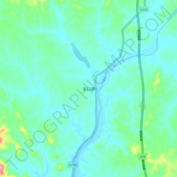
Name: Guankou topographic map, elevation, terrain.

Location: Guankou, Huanggang, Hubei, China (30.51000 115.29333 30.59000 115.37333)

Average elevation: 64 m

Minimum elevation: 33 m

Maximum elevation: 215 m

Other topographic maps

Click on a map to view its topography, its elevation and its terrain.

Huanggang

China > Hubei > Huanggang

Average elevation: 143 m

Gear up for your next adventure:

👟Trail Running Shoes - Agile footwear for fast-paced topographic exploration
🧼Travel Hand Sanitizer - Keep hands clean when water is scarce
Camping Essentials - All-in-one gear for a comfortable camping trip
🛁Quick-Dry Microfiber Towel - Space-saving towel that dries rapidly on the move
🧦Merino Wool Socks - Moisture-wicking comfort for long-distance hiking

As an Amazon Associate, this site earns from qualifying purchases at no extra cost to you.