
Clara topographic map
Interactive map
Click on the map to display elevation.
About this map
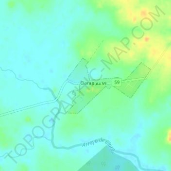
Name: Clara topographic map, elevation, terrain.
Location: Clara, Tacuarembó, 45000, Uruguay (-32.22897 -55.73993 -32.22024 -55.72411)
Average elevation: 107 m
Minimum elevation: 98 m
Maximum elevation: 126 m
Other topographic maps
Click on a map to view its topography, its elevation and its terrain.
San Gregorio de Polanco
San Gregorio de Polanco, Tacuarembó, 45200, Uruguay
Average elevation: 83 m