
Lukenie topographic map
Interactive map
Click on the map to display elevation.
About this map
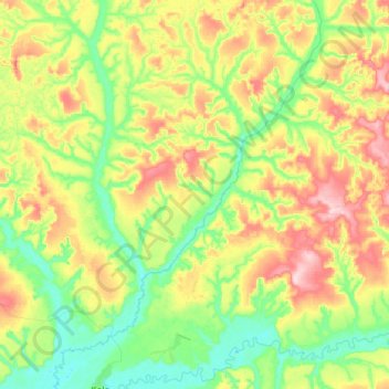
Name: Lukenie topographic map, elevation, terrain.
Location: Lukenie, Sankuru, DR Kongo (-3.46291 22.40620 -3.13628 22.63197)
Average elevation: 459 m
Minimum elevation: 374 m
Maximum elevation: 601 m
Other topographic maps
Click on a map to view its topography, its elevation and its terrain.