
Lodja topographic map
Interactive map
Click on the map to display elevation.
About this map
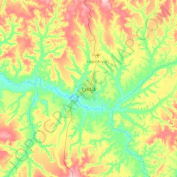
Name: Lodja topographic map, elevation, terrain.
Location: Lodja, Sankuru, DR Kongo (-3.68416 23.43951 -3.36416 23.75951)
Average elevation: 488 m
Minimum elevation: 408 m
Maximum elevation: 607 m