
Red Street topographic map
Click on the map to display elevation.
About this map
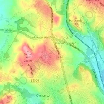
Name: Red Street topographic map, elevation, terrain.
Average elevation: 171 m
Minimum elevation: 120 m
Maximum elevation: 232 m
Other topographic maps
Click on a map to view its topography, its elevation and its terrain.
College Gardens
United Kingdom > England > Staffordshire > Newcastle-under-Lyme > Madeley
Average elevation: 123 m
Birks Wood
United Kingdom > England > Staffordshire > Newcastle-under-Lyme > Shraleybrook
Average elevation: 109 m