Geolocate

Whitfield topographic map

Click on the map to display elevation.

About this map
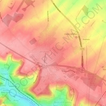
Name: Whitfield topographic map, elevation, terrain.

Location: Whitfield, Dover, Kent, England, United Kingdom (51.14259 1.26325 51.17555 1.31859)

Average elevation: 101 m

Minimum elevation: 21 m

Maximum elevation: 133 m

Gear up for your next adventure:

⛺Lightweight Camping Tent - Portable shelter optimized for Canadian backcountry camping
🧥Packable Rain Jacket - Breathable waterproof layer for unpredictable weather
🌡️Emergency Mylar Blankets - Compact thermal protection for unexpected nights outdoors
🚲MTB Frame Bag - Carry tools and maps directly on your bicycle frame
🥾Trekking Boots - Durable boots for long-distance trekking

As an Amazon Associate, this site earns from qualifying purchases at no extra cost to you.