Geolocate

Ellenbrook Fields topographic map

Click on the map to display elevation.

About this map

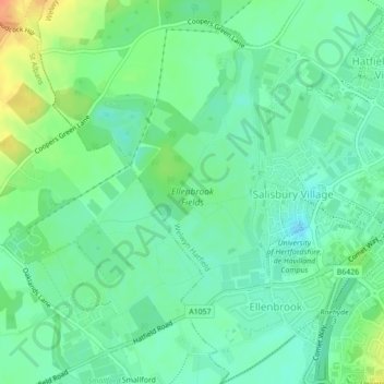
Name: Ellenbrook Fields topographic map, elevation, terrain.

Location: Ellenbrook Fields, Hatfield Business Park, Hatfield, Welwyn Hatfield, Hertfordshire, East of England, England, United Kingdom (51.75572 -0.27095 51.77650 -0.25083)

Average elevation: 80 m

Minimum elevation: 66 m

Maximum elevation: 108 m

Other topographic maps

Click on a map to view its topography, its elevation and its terrain.

Gear up for your next adventure:

🔦LED Headlamp - Hands-free lighting for early morning starts or late finishes
🧥Softshell Jacket - Windproof and breathable jacket for hiking
🧢Sun Protection Cap - Breathable cap to protect from sun exposure
Camping Essentials - All-in-one gear for a comfortable camping trip
🥾Lightweight Hiking Boots - Boots for comfort and mobility on long hikes

As an Amazon Associate, this site earns from qualifying purchases at no extra cost to you.