
Déressia topographic map
Interactive map
Click on the map to display elevation.
About this map
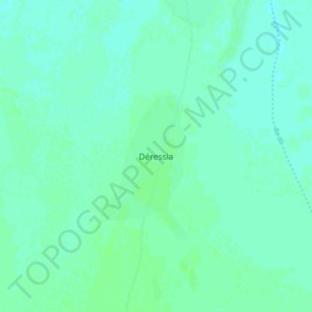
Name: Déressia topographic map, elevation, terrain.
Location: Déressia, Tandjilé, Chad (9.72016 16.22980 9.80016 16.30980)
Average elevation: 345 m
Minimum elevation: 342 m
Maximum elevation: 348 m
Other topographic maps
Click on a map to view its topography, its elevation and its terrain.