
Kelo topographic map
Click on the map to display elevation.
About this map
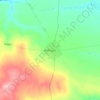
Name: Kelo topographic map, elevation, terrain.
Location: Kelo, Tandjilé, Chad (9.15351 15.62698 9.47351 15.94698)
Average elevation: 387 m
Minimum elevation: 345 m
Maximum elevation: 476 m