
Lajangiru topographic map
Interactive map
Click on the map to display elevation.
About this map
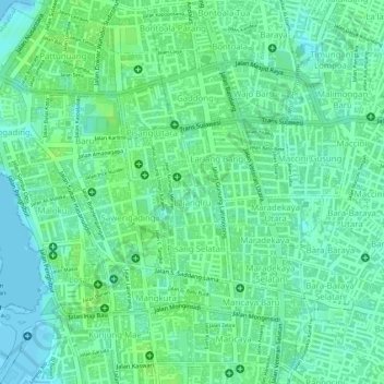
Name: Lajangiru topographic map, elevation, terrain.
Average elevation: 7 m
Minimum elevation: 0 m
Maximum elevation: 11 m
Other topographic maps
Click on a map to view its topography, its elevation and its terrain.
Pai
Indonésie > Sulawesi du Sud > Makassar
Pai, Biringkanaya, Makassar, Sulawesi du Sud, Indonésie
Average elevation: 15 m