Geolocate

Glasshouse topographic map

Click on the map to display elevation.

About this map

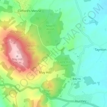
Name: Glasshouse topographic map, elevation, terrain.

Location: Glasshouse, Taynton, May Hill, Forest of Dean, Gloucestershire, England, GL17 0NW, United Kingdom (51.87031 -2.44214 51.91031 -2.40214)

Average elevation: 110 m

Minimum elevation: 20 m

Maximum elevation: 303 m

Other topographic maps

Click on a map to view its topography, its elevation and its terrain.

Gear up for your next adventure:

🧭GPS Handheld Device - Reliable GPS navigation for outdoor adventures
🧴First Aid Kit - Essential first aid supplies for outdoor emergencies
🥾Trail Running Shoes - Lightweight and durable shoes for trail running
🧥Thermal Layer - Insulating layer for cold outdoor conditions
🔪Outdoor Multitool - Versatile tool for repairs and food prep in the wild

As an Amazon Associate, this site earns from qualifying purchases at no extra cost to you.