Geolocate

Taylor topographic map

Click on the map to display elevation.

About this map

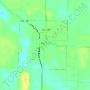
Name: Taylor topographic map, elevation, terrain.

Location: Taylor, Columbia County, Arkansas, United States (33.09242 -93.47069 33.10722 -93.45290)

Average elevation: 76 m

Minimum elevation: 66 m

Maximum elevation: 88 m

Other topographic maps

Click on a map to view its topography, its elevation and its terrain.

Mount Vernon

United States > Arkansas > Columbia County

Average elevation: 94 m

Bussey

United States > Arkansas > Columbia County

Average elevation: 80 m

Hunt

United States > Arkansas > Columbia County

Average elevation: 82 m

Gear up for your next adventure:

🧳Compression Sacks - Maximize space in your backpack by shrinking gear
🧥Thermal Layer - Insulating layer for cold outdoor conditions
🛏️Sleeping Bag - Warm and compact sleeping bags for outdoor camping
🛏️Camping Sleeping Mat - Comfortable mats for sleeping outdoors
🏃Hydration Running Vest - Carry water and maps close to your body for speed

As an Amazon Associate, this site earns from qualifying purchases at no extra cost to you.