Geolocate

Bussey topographic map

Click on the map to display elevation.

About this map

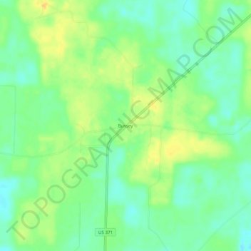
Name: Bussey topographic map, elevation, terrain.

Location: Bussey, Columbia County, Arkansas, United States (33.13569 -93.47628 33.17569 -93.43628)

Average elevation: 80 m

Minimum elevation: 67 m

Maximum elevation: 95 m

Other topographic maps

Click on a map to view its topography, its elevation and its terrain.

Emerson

United States > Arkansas > Columbia County

Average elevation: 95 m

Waldo

United States > Arkansas > Columbia County

Average elevation: 103 m

Taylor

United States > Arkansas > Columbia County

Average elevation: 76 m

Gear up for your next adventure:

🥾Hiking Shoes - Durable and comfortable shoes for trail hiking
💧Hydration Bladder - Hands-free hydration solution for long treks
🥾Waterproof Hiking Boots - Essential footwear for rugged terrain and wet Canadian trails
🔭Compact Monocular - One-handed bird watching and trail spotting
🥾Lightweight Hiking Boots - Boots for comfort and mobility on long hikes

As an Amazon Associate, this site earns from qualifying purchases at no extra cost to you.