
Make a donation
Gear up for your next adventure:
As an Amazon Associate, this site earns from qualifying purchases at no extra cost to you.
Climax topographic map
Click on the map to display elevation.
Make a donation
Gear up for your next adventure:
As an Amazon Associate, this site earns from qualifying purchases at no extra cost to you.
Climax
Climax was founded in 1884. It was named from its elevation, or Climax College in Kalamazoo, Michigan.
Make a donation
Gear up for your next adventure:
As an Amazon Associate, this site earns from qualifying purchases at no extra cost to you.
About this map
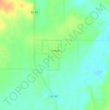
Name: Climax topographic map, elevation, terrain.
Location: Climax, Greenwood County, Kansas, United States (37.71497 -96.22728 37.72230 -96.22137)
Average elevation: 313 m
Minimum elevation: 299 m
Maximum elevation: 339 m
Make a donation
Gear up for your next adventure:
As an Amazon Associate, this site earns from qualifying purchases at no extra cost to you.
Other topographic maps
Click on a map to view its topography, its elevation and its terrain.