Geolocate

Cradoc topographic map

Click on the map to display elevation.

About this map

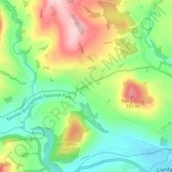
Name: Cradoc topographic map, elevation, terrain.

Location: Cradoc, Yscir, Brecon, Powys, Wales, LD3 9PD, United Kingdom (51.94504 -3.45172 51.98504 -3.41172)

Average elevation: 215 m

Minimum elevation: 132 m

Maximum elevation: 352 m

Gear up for your next adventure:

🔪Outdoor Multitool - Versatile tool for repairs and food prep in the wild
🩹Moleskin Blister Pads - Direct protection for painful foot pressure points
👟Sport Hiking Sandals - Breathable footwear for water crossings and camp rest
🧥Fleece Jacket - Warm and lightweight jacket for layering
🎒Fully Waterproof Backpack - Total protection for photography gear and electronics

As an Amazon Associate, this site earns from qualifying purchases at no extra cost to you.