Geolocate

Abra La Raya topographic map

Click on the map to display elevation.

About this map

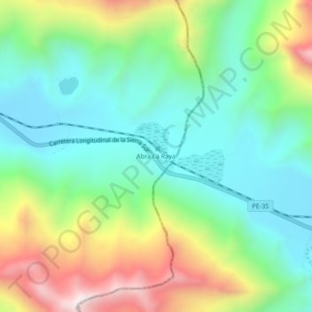
Name: Abra La Raya topographic map, elevation, terrain.

Location: Abra La Raya, Layo, Province of Canas, Cusco, Peru (-14.50321 -71.00886 -14.46321 -70.96886)

Average elevation: 4,568 m

Minimum elevation: 4,268 m

Maximum elevation: 5,172 m

Gear up for your next adventure:

💧Reusable Water Bottle - Durable water bottles for hydration on trails
👟Sport Hiking Sandals - Breathable footwear for water crossings and camp rest
🥾Trail Hiking Shoes - Durable shoes designed for rugged trails
🔋Lithium AA Batteries - Long-lasting power that performs in extreme cold
🛏️Camping Sleeping Mat - Comfortable mats for sleeping outdoors

As an Amazon Associate, this site earns from qualifying purchases at no extra cost to you.