Geolocate

Beaumont topographic map

Click on the map to display elevation.

About this map

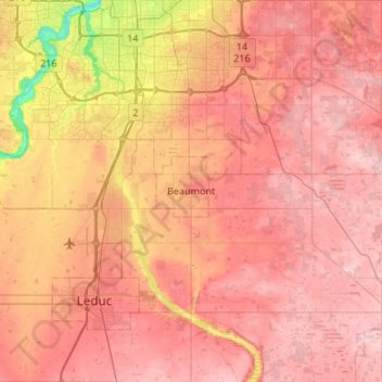
Name: Beaumont topographic map, elevation, terrain.

Location: Beaumont, City of Beaumont, Alberta, T4X 1A4, Canada (53.19255 -113.57514 53.51255 -113.25514)

Average elevation: 726 m

Minimum elevation: 617 m

Maximum elevation: 787 m

Alberta trails, hiking, mountain biking, running and outdoor activities

Gear up for your next adventure:

🪑Ultralight Camping Stool - Compact seating for rest stops during long hikes
💧Hydration Pack - Hands-free hydration system for long hikes
🧭GPS Tracker - Track your location in remote areas safely
💡LED Camping Lantern - Illuminate your campsite with long-lasting lanterns
🥾Approach Shoes - Shoes designed for climbing approaches and rugged trails

As an Amazon Associate, this site earns from qualifying purchases at no extra cost to you.