Geolocate

Yandina topographic map

Click on the map to display elevation.

About this map
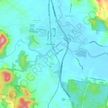
Name: Yandina topographic map, elevation, terrain.

Location: Yandina, Queensland, Australia (-26.58463 152.93066 -26.54748 152.98855)

Average elevation: 33 m

Minimum elevation: -1 m

Maximum elevation: 194 m

Other topographic maps

Click on a map to view its topography, its elevation and its terrain.

Yandina

Australia > Queensland > Yandina

Average elevation: 52 m

Gear up for your next adventure:

🔦LED Flashlight - Powerful and long-lasting flashlight for camping and emergencies
🥾Trail Hiking Boots - Supportive boots for rough trails
🧭Orienteering Kit - Tools for map reading and navigation in the wild
🔭Outdoor Binoculars - Lightweight binoculars for birdwatching and hiking
🧥Softshell Jacket - Windproof and breathable jacket for hiking

As an Amazon Associate, this site earns from qualifying purchases at no extra cost to you.