Geolocate

Shamma topographic map

Click on the map to display elevation.

About this map

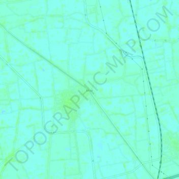
Name: Shamma topographic map, elevation, terrain.

Location: Shamma, Al Minufiya, Egypt (30.36333 30.89667 30.40333 30.93667)

Average elevation: 13 m

Minimum elevation: 10 m

Maximum elevation: 16 m

Other topographic maps

Click on a map to view its topography, its elevation and its terrain.

Sadat City

Egypt > Al Minufiya

Average elevation: 31 m

Sadat City

Egypt > Al Minufiya

Average elevation: 31 m

Kafr Al Bagour Village

Egypt > Al Minufiya

Average elevation: 14 m

Gear up for your next adventure:

🧣Evaporative Cooling Towel - Beat the heat during intense summer climbs
🪜Heavy Duty Carabiners - Multi-use clips for securing gear to your backpack
🧰Emergency Multi-Tool - Compact multi-tool for outdoor survival
🛶Waterproof Dry Bags - Keep electronics and clothes dry during river crossings
🥾Mountain Trail Shoes - High-traction shoes for mountain trails

As an Amazon Associate, this site earns from qualifying purchases at no extra cost to you.