
خاص روزگان ولسوالۍ topographic map
Interactive map
Click on the map to display elevation.
About this map
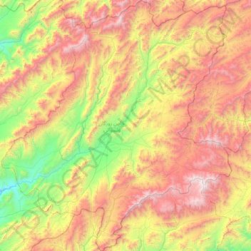
Name: خاص روزگان ولسوالۍ topographic map, elevation, terrain.
Location: خاص روزگان ولسوالۍ, Urusgan, Afghanistan (32.65210 66.30434 33.31251 67.02682)
Average elevation: 2,798 m
Minimum elevation: 1,701 m
Maximum elevation: 4,205 m
Other topographic maps
Click on a map to view its topography, its elevation and its terrain.
Tarin Kut
Afghanistan > Urusgan > Tarin Kut
Tarin Kut, ترينکوټ ولسوالۍ, Urusgan, Afghanistan
Average elevation: 1,581 m