
Tarin Kut topographic map
Interactive map
Click on the map to display elevation.
About this map
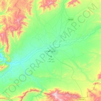
Name: Tarin Kut topographic map, elevation, terrain.
Location: Tarin Kut, ترينکوټ ولسوالۍ, Urusgan, Afghanistan (32.46181 65.70879 32.78181 66.02879)
Average elevation: 1,581 m
Minimum elevation: 1,180 m
Maximum elevation: 2,573 m