
شرق النيل topographic map
Interactive map
Click on the map to display elevation.
About this map
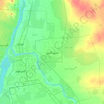
Name: شرق النيل topographic map, elevation, terrain.
Location: شرق النيل, Khartoum, Soudan (15.46104 32.47613 15.78104 32.79613)
Average elevation: 391 m
Minimum elevation: 372 m
Maximum elevation: 436 m
Other topographic maps
Click on a map to view its topography, its elevation and its terrain.