
Omdourman topographic map
Interactive map
Click on the map to display elevation.
About this map
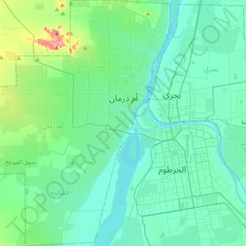
Name: Omdourman topographic map, elevation, terrain.
Location: Omdourman, Khartoum, Soudan (15.47701 32.30186 15.75385 32.53266)
Average elevation: 401 m
Minimum elevation: 372 m
Maximum elevation: 495 m
Other topographic maps
Click on a map to view its topography, its elevation and its terrain.