Geolocate

Friendship topographic map

Click on the map to display elevation.

About this map

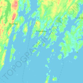
Name: Friendship topographic map, elevation, terrain.

Location: Friendship, Knox County, Maine, 04547, United States (43.85797 -69.39818 44.05899 -69.27669)

Average elevation: 10 m

Minimum elevation: -2 m

Maximum elevation: 90 m

Other topographic maps

Click on a map to view its topography, its elevation and its terrain.

Port Clyde

United States > Maine > Knox County > Saint George

Average elevation: 5 m

Mark Island

United States > Maine > Knox County > North Haven

Average elevation: 0 m

Folly Pond

United States > Maine > Knox County > Vinalhaven

Average elevation: 16 m

Gear up for your next adventure:

🧦Hiking Socks - Moisture-wicking and comfortable socks for long hikes
🚲Bike Repair Kit - Essential tools for on-trail mechanical issues
🏃Hydration Running Vest - Carry water and maps close to your body for speed
🧤Thermal Hiking Gloves - Grip-enhanced gloves for cold-weather altitude trekking
🧥Softshell Jacket - Windproof and breathable jacket for hiking

As an Amazon Associate, this site earns from qualifying purchases at no extra cost to you.