Geolocate

Cufaude topographic map

Click on the map to display elevation.

About this map

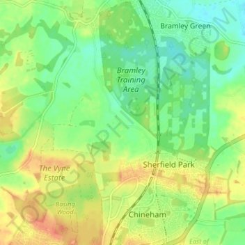
Name: Cufaude topographic map, elevation, terrain.

Location: Cufaude, Bramley, Basingstoke and Deane, Hampshire, England, RG26 5DN, United Kingdom (51.28889 -1.08460 51.32889 -1.04460)

Average elevation: 69 m

Minimum elevation: 51 m

Maximum elevation: 89 m

Other topographic maps

Click on a map to view its topography, its elevation and its terrain.

Gear up for your next adventure:

🕶️Polarized Sunglasses - Reduces glare from snow and water at high elevations
Lightweight Camping Tent - Portable shelter optimized for Canadian backcountry camping
🥾Lightweight Hiking Boots - Boots for comfort and mobility on long hikes
🚲Handlebar Phone Mount - View topographic-map.com live while cycling
🥾Mountain Trail Shoes - High-traction shoes for mountain trails

As an Amazon Associate, this site earns from qualifying purchases at no extra cost to you.