Geolocate

Potton topographic map

Click on the map to display elevation.

About this map

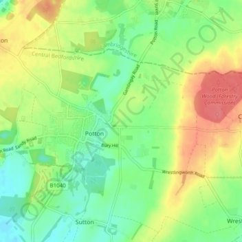
Name: Potton topographic map, elevation, terrain.

Location: Potton, Central Bedfordshire, England, United Kingdom (52.11630 -0.23801 52.14477 -0.16179)

Average elevation: 51 m

Minimum elevation: 26 m

Maximum elevation: 85 m

Gear up for your next adventure:

🔭Compact Binoculars - Lightweight optics for scouting trails and wildlife
💧Reusable Water Bottle - Durable water bottles for hydration on trails
🧥Thermal Layer - Insulating layer for cold outdoor conditions
🧴Insect Repellent - Protect yourself from bugs during outdoor adventures
🧥Softshell Hiking Jacket - The perfect balance of wind protection and breathability

As an Amazon Associate, this site earns from qualifying purchases at no extra cost to you.