
İnegöl topographic map
Interactive map
Click on the map to display elevation.
About this map
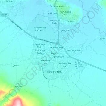
Name: İnegöl topographic map, elevation, terrain.
Location: İnegöl, Bursa, Marmararegion, 16400, Türkei (40.04001 29.46964 40.12001 29.54964)
Average elevation: 306 m
Minimum elevation: 264 m
Maximum elevation: 740 m
Other topographic maps
Click on a map to view its topography, its elevation and its terrain.