
Gazelli topographic map
Interactive map
Click on the map to display elevation.
About this map
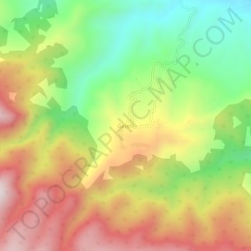
Name: Gazelli topographic map, elevation, terrain.
Location: Gazelli, İnegöl, Bursa, Marmararegion, Türkei (39.94504 29.49073 39.98504 29.53073)
Average elevation: 796 m
Minimum elevation: 429 m
Maximum elevation: 1,193 m
Other topographic maps
Click on a map to view its topography, its elevation and its terrain.