
Laguna de El Hito topographic map
Interactive map
Click on the map to display elevation.
About this map
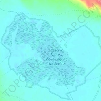
Name: Laguna de El Hito topographic map, elevation, terrain.
Average elevation: 837 m
Minimum elevation: 828 m
Maximum elevation: 902 m
Other topographic maps
Click on a map to view its topography, its elevation and its terrain.
Montalbo
España > Castilla-La Mancha > Montalbo
Montalbo, Cuenca, Castilla-La Mancha, 16440, España
Average elevation: 864 m