
Grant County topographic map
Click on the map to display elevation.
About this map
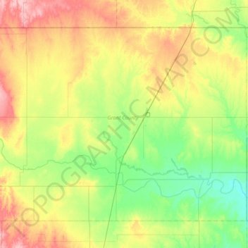
Name: Grant County topographic map, elevation, terrain.
Location: Grant County, Oklahoma, United States (36.59341 -98.11166 36.99909 -97.46220)
Average elevation: 345 m
Minimum elevation: 297 m
Maximum elevation: 434 m
Other topographic maps
Click on a map to view its topography, its elevation and its terrain.
Southwest Oklahoma City Sludge Lagoon Dam
United States > Oklahoma > Cleveland County > Oklahoma City
Average elevation: 348 m
Lake Thunderbird Dam
United States > Oklahoma > Cleveland County > Norman > Little Axe
Average elevation: 318 m