
South Rim topographic map
Click on the map to display elevation.
About this map
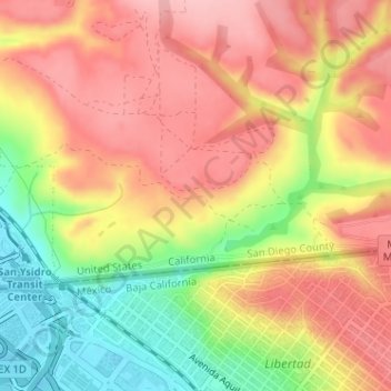
Name: South Rim topographic map, elevation, terrain.
Average elevation: 102 m
Minimum elevation: 18 m
Maximum elevation: 161 m
Other topographic maps
Click on a map to view its topography, its elevation and its terrain.
Old Town San Diego State Historical Park
United States > California > San Diego County > San Diego
Average elevation: 18 m
Embarcadero Marina Park
United States > California > San Diego County > San Diego
Average elevation: 7 m