Geolocate

Milton Bryan topographic map

Click on the map to display elevation.

About this map

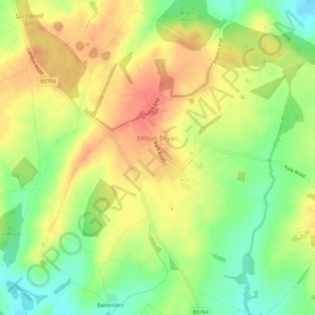
Name: Milton Bryan topographic map, elevation, terrain.

Location: Milton Bryan, Central Bedfordshire, England, United Kingdom (51.94694 -0.60739 51.97847 -0.56154)

Average elevation: 139 m

Minimum elevation: 108 m

Maximum elevation: 166 m

Gear up for your next adventure:

🛰️Satellite Messenger - Emergency communication for areas with no cell service
🚲Heavy Duty Bike Lock - Secure your bike at the trailhead or during stops
🧥Waterproof Pants - Keep dry during rainy hiking conditions
🛌Down Sleeping Bag - Superior warmth-to-weight ratio for cold nights
💡Portable Camping Lamp - Rechargeable lamp for campsite lighting

As an Amazon Associate, this site earns from qualifying purchases at no extra cost to you.