Geolocate

Wrentham topographic map

Click on the map to display elevation.

About this map

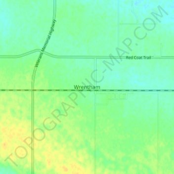
Name: Wrentham topographic map, elevation, terrain.

Location: Wrentham, County of Warner, Alberta, Canada (49.49667 -112.20333 49.53667 -112.16333)

Average elevation: 952 m

Minimum elevation: 943 m

Maximum elevation: 965 m

County of Warner trails, hiking, mountain biking, running and outdoor activities

Other topographic maps

Click on a map to view its topography, its elevation and its terrain.

Gear up for your next adventure:

📷Outdoor Action Camera - Capture high-elevation views and rugged adventures
🥘Camping Cookware Set - Compact nesting pots and pans for trail cooking
🪑Insulated Seat Pad - Protect your seat from cold rocks and wet logs
🧢Outdoor Visor - Breathable visor for sunny hikes
🧴Bear Spray Holster - Quick-access carry for essential Canadian wilderness safety

As an Amazon Associate, this site earns from qualifying purchases at no extra cost to you.