Geolocate

Basilam Baru topographic map

Click on the map to display elevation.

About this map

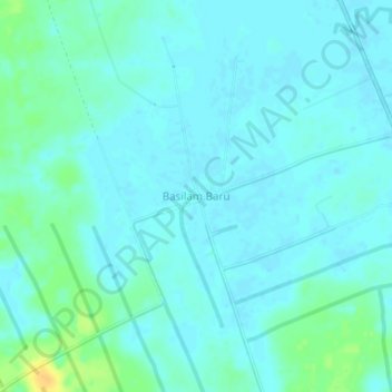
Name: Basilam Baru topographic map, elevation, terrain.

Location: Basilam Baru, Dumai City, Riau, Sumatra, 28826, Indonesia (1.88743 101.22971 1.92743 101.26971)

Average elevation: 6 m

Minimum elevation: 0 m

Maximum elevation: 26 m

Other topographic maps

Click on a map to view its topography, its elevation and its terrain.

Bukit Kapur

Indonesia > Riau > Dumai City

Average elevation: 12 m

Dumai Barat

Indonesia > Riau > Dumai City

Average elevation: 2 m

Gear up for your next adventure:

🔦LED Headtorch - Bright and durable light for night activities
🥾All-Terrain Hiking Boots - Versatile boots for varied hiking conditions
🛌Insulated Sleeping Pad - Critical thermal barrier between you and the cold ground
🧢Beanie Hat - Keep your head warm in cold weather
🥽Outdoor Goggles - Protective eyewear for outdoor activities

As an Amazon Associate, this site earns from qualifying purchases at no extra cost to you.