Geolocate

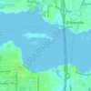
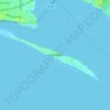
Long Beach topographic map

Click on the map to display elevation.

About this map
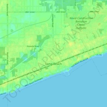
Name: Long Beach topographic map, elevation, terrain.

Location: Long Beach, Harrison County, Mississippi, 39560, United States (30.33032 -89.20392 30.38376 -89.12438)

Average elevation: 6 m

Minimum elevation: -2 m

Maximum elevation: 17 m

Other topographic maps

Click on a map to view its topography, its elevation and its terrain.
Biloxi

United States > Mississippi > Harrison County > Biloxi

Average elevation: 1 m

Lizana

United States > Mississippi > Harrison County

Average elevation: 40 m

New Hope

United States > Mississippi > Harrison County

Average elevation: 13 m

Cuevas

United States > Mississippi > Harrison County

Average elevation: 6 m

Gear up for your next adventure:

🧴Insect Repellent - Protect yourself from bugs during outdoor adventures
👖Convertible Hiking Pants - Zip-off legs to adapt to changing weather conditions
🧦Hiking Liner Socks - Thin base layer to prevent friction and blisters
🔦LED Headtorch - Bright and durable light for night activities
🧥Fleece Jacket - Warm and lightweight jacket for layering

As an Amazon Associate, this site earns from qualifying purchases at no extra cost to you.