Geolocate

Biloxi topographic map

Click on the map to display elevation.

About this map

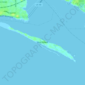
Name: Biloxi topographic map, elevation, terrain.

Location: Biloxi, Harrison County, Mississippi, United States (30.35945 -88.88612 30.38988 -88.81709)

Average elevation: 1 m

Minimum elevation: -2 m

Maximum elevation: 14 m

Other topographic maps

Click on a map to view its topography, its elevation and its terrain.

Gear up for your next adventure:

🥾Light Trekking Boots - Supportive boots for multi-day treks
🚲Heavy Duty Bike Lock - Secure your bike at the trailhead or during stops
🧥Fleece Jacket - Warm and lightweight jacket for layering
🛶Canoe Life Vest - Safety vest for water sports
Camping Coffee Maker - Brew fresh coffee anywhere on the topographic map

As an Amazon Associate, this site earns from qualifying purchases at no extra cost to you.