Geolocate

Ferry topographic map

Click on the map to display elevation.

About this map

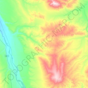
Name: Ferry topographic map, elevation, terrain.

Location: Ferry, Denali, Alaska, United States (63.95660 -149.16913 64.11940 -148.72137)

Average elevation: 634 m

Minimum elevation: 275 m

Maximum elevation: 1,262 m

Other topographic maps

Click on a map to view its topography, its elevation and its terrain.

Anderson

United States > Alaska > Denali > Anderson

Average elevation: 156 m

Kantishna

United States > Alaska > Denali

Average elevation: 678 m

Yanert Glacier

United States > Alaska > Denali

Average elevation: 1,703 m

Igloo Mountain

United States > Alaska > Denali

Average elevation: 1,085 m

Gear up for your next adventure:

🛶Kayak Dry Bag - Waterproof storage for kayaking adventures
🕶️Polarized Sunglasses - Reduces glare from snow and water at high elevations
🥾Trail Running Boots - Durable shoes designed for trail running
🧳Compression Sacks - Maximize space in your backpack by shrinking gear
Lightweight Camping Tent - Portable shelter optimized for Canadian backcountry camping

As an Amazon Associate, this site earns from qualifying purchases at no extra cost to you.