Geolocate

Lopcombe Corner topographic map

Click on the map to display elevation.

About this map

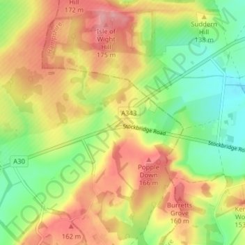
Name: Lopcombe Corner topographic map, elevation, terrain.

Location: Lopcombe Corner, Winterslow, Wiltshire, England, SP5 1BX, United Kingdom (51.09840 -1.66201 51.13840 -1.62201)

Average elevation: 125 m

Minimum elevation: 71 m

Maximum elevation: 179 m

Other topographic maps

Click on a map to view its topography, its elevation and its terrain.

Gear up for your next adventure:

🛶Canoe Life Vest - Safety vest for water sports
🚲Heavy Duty Bike Lock - Secure your bike at the trailhead or during stops
Camping Coffee Maker - Brew fresh coffee anywhere on the topographic map
🧦Hiking Liner Socks - Thin base layer to prevent friction and blisters
🥾Trekking Boots - Durable boots for long-distance trekking

As an Amazon Associate, this site earns from qualifying purchases at no extra cost to you.