Geolocate

Kell topographic map

Click on the map to display elevation.

About this map

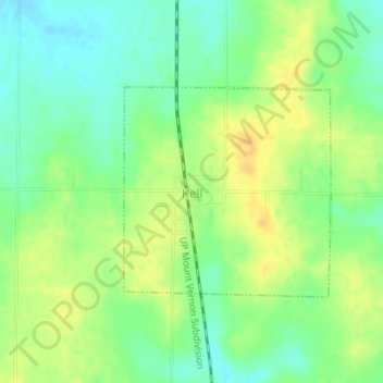
Name: Kell topographic map, elevation, terrain.

Location: Kell, Marion County, Illinois, United States (38.48383 -88.91262 38.49866 -88.89396)

Average elevation: 183 m

Minimum elevation: 169 m

Maximum elevation: 197 m

Other topographic maps

Click on a map to view its topography, its elevation and its terrain.

Union Town

United States > Illinois > Marion County

Average elevation: 147 m

Union Town

United States > Illinois > Marion County

Average elevation: 147 m

Salem

United States > Illinois > Marion County > Salem

Average elevation: 164 m

Gear up for your next adventure:

🌬️Windproof Camp Stove - Efficient cooking even on exposed mountain peaks
🩹Compact First Aid Kit - Pre-packed essentials for common trail injuries
🧥Waterproof Pants - Keep dry during rainy hiking conditions
🧭GPS Outdoor Watch - Smart watch for navigation and fitness tracking in nature
Lightweight Backpacking Tent - Compact tent for efficient hiking trips

As an Amazon Associate, this site earns from qualifying purchases at no extra cost to you.