Geolocate

Salem topographic map

Click on the map to display elevation.

About this map

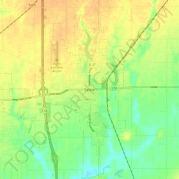
Name: Salem topographic map, elevation, terrain.

Location: Salem, Marion County, Illinois, 62881, United States (38.58699 -88.98562 38.66699 -88.90562)

Average elevation: 164 m

Minimum elevation: 146 m

Maximum elevation: 179 m

Gear up for your next adventure:

🧴Insect Repellent - Protect yourself from bugs during outdoor adventures
🥾Waterproof Trail Shoes - Shoes designed to handle wet terrain
🔋Solar Power Bank - Keep your GPS and devices charged during long outdoor trips
🥾Light Trekking Boots - Supportive boots for multi-day treks
💧Hydration Bladder - Hands-free hydration solution for long treks

As an Amazon Associate, this site earns from qualifying purchases at no extra cost to you.