
St John's topographic map
Click on the map to display elevation.
About this map
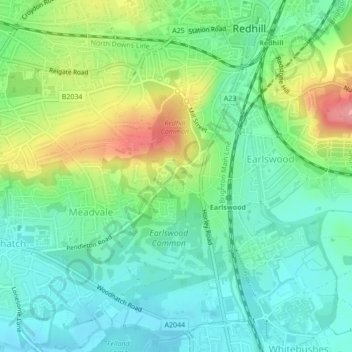
Name: St John's topographic map, elevation, terrain.
Average elevation: 87 m
Minimum elevation: 55 m
Maximum elevation: 153 m
Other topographic maps
Click on a map to view its topography, its elevation and its terrain.
Lower Earlswood Lake
United Kingdom > England > Surrey > Reigate and Banstead > Redhill
Average elevation: 75 m
Redhill Common
United Kingdom > England > Surrey > Reigate and Banstead > Redhill
Average elevation: 92 m