Geolocate

Tīrau topographic map

Click on the map to display elevation.

About this map

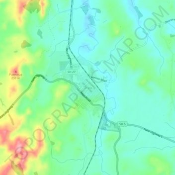
Name: Tīrau topographic map, elevation, terrain.

Location: Tīrau, South Waikato District, Waikato, 3410, New Zealand (-37.99675 175.73877 -37.95675 175.77877)

Average elevation: 130 m

Minimum elevation: 86 m

Maximum elevation: 244 m

Gear up for your next adventure:

🛶Kayak Accessories - Essential gear for safe and fun kayaking adventures
🔋Emergency Crank Radio - Weather alerts and power without needing batteries
Camping Coffee Maker - Brew fresh coffee anywhere on the topographic map
🔋Solar Power Bank - Keep your GPS and devices charged during long outdoor trips
🔭Outdoor Binoculars - Lightweight binoculars for birdwatching and hiking

As an Amazon Associate, this site earns from qualifying purchases at no extra cost to you.