
Sharples topographic map
Click on the map to display elevation.
About this map
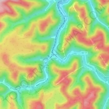
Name: Sharples topographic map, elevation, terrain.
Location: Sharples, Logan County, West Virginia, 25183, United States (37.90038 -81.84929 37.94038 -81.80929)
Average elevation: 385 m
Minimum elevation: 245 m
Maximum elevation: 553 m
Other topographic maps
Click on a map to view its topography, its elevation and its terrain.
Greenville
United States > West Virginia > Logan County > Greenville > Hensley Heights
Average elevation: 371 m
Monaville
United States > West Virginia > Logan County > Rossmore > Dog Patch
Average elevation: 345 m